
Thank you for supporting this site ❤️
Make a donation
Make a donation
Rioverde topographic map
Click on the map to display elevation.
Thank you for supporting this site ❤️
Make a donation
Make a donation
About this map
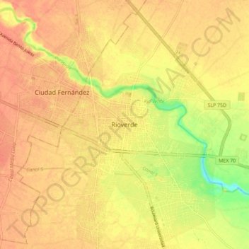
Name: Rioverde topographic map, elevation, terrain.
Location: Rioverde, San Luis Potosi, 79610, Mexico (21.89186 -100.03286 21.97186 -99.95286)
Average elevation: 994 m
Minimum elevation: 963 m
Maximum elevation: 1,006 m
Thank you for supporting this site ❤️
Make a donation
Make a donation