
Emana topographic map
Interactive map
Click on the map to display elevation.
About this map
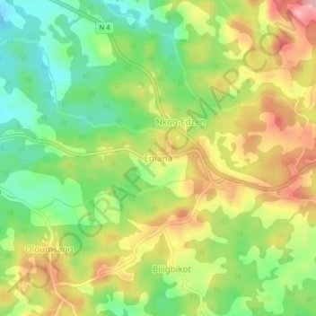
Name: Emana topographic map, elevation, terrain.
Location: Emana, Monatélé, Lekié, Centre, Cameroun (4.25177 11.31455 4.29177 11.35455)
Average elevation: 517 m
Minimum elevation: 449 m
Maximum elevation: 595 m