
Thank you for supporting this site ❤️
Make a donation
Make a donation
Morris topographic map
Click on the map to display elevation.
Thank you for supporting this site ❤️
Make a donation
Make a donation
About this map
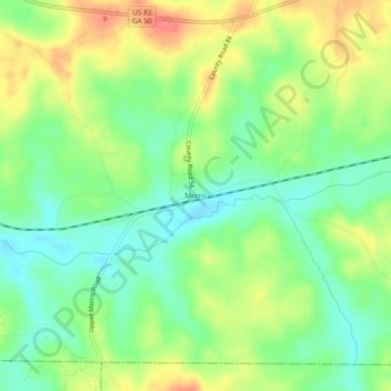
Name: Morris topographic map, elevation, terrain.
Location: Morris, Quitman County, Georgia, 39867, United States (31.77433 -84.96631 31.81433 -84.92631)
Average elevation: 94 m
Minimum elevation: 67 m
Maximum elevation: 130 m
Thank you for supporting this site ❤️
Make a donation
Make a donation
Other topographic maps
Click on a map to view its topography, its elevation and its terrain.