
Lyon County topographic map
Interactive map
Click on the map to display elevation.
About this map
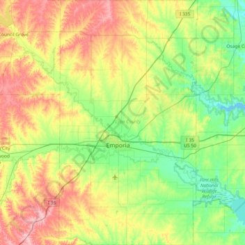
Name: Lyon County topographic map, elevation, terrain.
Location: Lyon County, Kansas, Estados Unidos de América (38.17092 -96.35753 38.74022 -95.94566)
Average elevation: 372 m
Minimum elevation: 313 m
Maximum elevation: 484 m