
Thank you for supporting this site ❤️
Make a donation
Make a donation
Forsthaus Eduardspring topographic map
Click on the map to display elevation.
Thank you for supporting this site ❤️
Make a donation
Make a donation
About this map
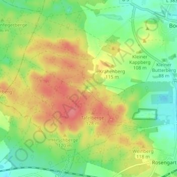
Name: Forsthaus Eduardspring topographic map, elevation, terrain.
Average elevation: 101 m
Minimum elevation: 69 m
Maximum elevation: 139 m
Thank you for supporting this site ❤️
Make a donation
Make a donation
Other topographic maps
Click on a map to view its topography, its elevation and its terrain.
Booßen
Deutschland > Brandenburg > Frankfurt (Oder)
Zu Ehren des 1890 entlassenen ersten deutschen Reichskanzlers Fürst Otto von Bismarck wurden seit 1868 an vielen Orten Deutschlands Bismarckdenkmäler errichtet. So auch der Turm in Booßen, der auf Initiative der dort ansässigen Rittergutsfamilie Schulz erbaut wurde. Das genaue Einweihungsdatum ist nicht…
Average elevation: 72 m
Thank you for supporting this site ❤️
Make a donation
Make a donation