
Thank you for supporting this site ❤️
Make a donation
Make a donation
En Nahud topographic map
Click on the map to display elevation.
Thank you for supporting this site ❤️
Make a donation
Make a donation
About this map
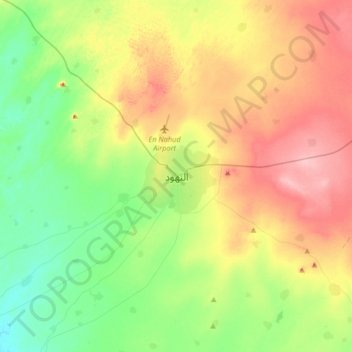
Name: En Nahud topographic map, elevation, terrain.
Location: En Nahud, En Nuhud, West Kurdufan State, Sudan (12.53216 28.26210 12.85216 28.58210)
Average elevation: 578 m
Minimum elevation: 530 m
Maximum elevation: 646 m
Thank you for supporting this site ❤️
Make a donation
Make a donation
Other topographic maps
Click on a map to view its topography, its elevation and its terrain.