
Thank you for supporting this site ❤️
Make a donation
Make a donation
Zarghan topographic map
Click on the map to display elevation.
Thank you for supporting this site ❤️
Make a donation
Make a donation
About this map
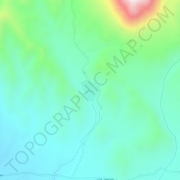
Name: Zarghan topographic map, elevation, terrain.
Location: Zarghan, دهستان بناب, بخش مرکزی, Marand County, Iran (38.43068 46.00643 38.47068 46.04643)
Average elevation: 1,873 m
Minimum elevation: 1,711 m
Maximum elevation: 2,449 m
Thank you for supporting this site ❤️
Make a donation
Make a donation