
Thank you for supporting this site ❤️
Make a donation
Make a donation
Ban Nongpat topographic map
Click on the map to display elevation.
Thank you for supporting this site ❤️
Make a donation
Make a donation
About this map
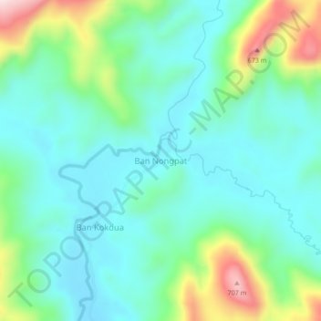
Name: Ban Nongpat topographic map, elevation, terrain.
Location: Ban Nongpat, Viengthong District, Bolikhamsai, Laos (18.45635 104.51640 18.49635 104.55640)
Average elevation: 445 m
Minimum elevation: 351 m
Maximum elevation: 725 m
Thank you for supporting this site ❤️
Make a donation
Make a donation