
Thank you for supporting this site ❤️
Make a donation
Make a donation
Gunung Parang topographic map
Click on the map to display elevation.
Thank you for supporting this site ❤️
Make a donation
Make a donation
About this map
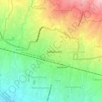
Name: Gunung Parang topographic map, elevation, terrain.
Location: Gunung Parang, Sukabumi, West Java, Java, 43111, Indonesia (-6.93972 106.90526 -6.89972 106.94526)
Average elevation: 600 m
Minimum elevation: 500 m
Maximum elevation: 738 m
Thank you for supporting this site ❤️
Make a donation
Make a donation
Other topographic maps
Click on a map to view its topography, its elevation and its terrain.