
Mukombu topographic map
Interactive map
Click on the map to display elevation.
About this map
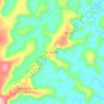
Name: Mukombu topographic map, elevation, terrain.
Location: Mukombu, Kwango, Democratic Republic of the Congo (-4.99039 16.90186 -4.95039 16.94186)
Average elevation: 511 m
Minimum elevation: 435 m
Maximum elevation: 671 m