
Thank you for supporting this site ❤️
Make a donation
Make a donation
Phu Chi Fa Viewpoint topographic map
Click on the map to display elevation.
Thank you for supporting this site ❤️
Make a donation
Make a donation
About this map
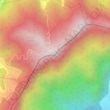
Name: Phu Chi Fa Viewpoint topographic map, elevation, terrain.
Location: Phu Chi Fa Viewpoint, Paktha District, Bokeo Province, Laos (19.85002 100.45402 19.85012 100.45412)
Average elevation: 1,276 m
Minimum elevation: 701 m
Maximum elevation: 1,598 m
Thank you for supporting this site ❤️
Make a donation
Make a donation