
Thank you for supporting this site ❤️
Make a donation
Make a donation
Dholera topographic map
Click on the map to display elevation.
Thank you for supporting this site ❤️
Make a donation
Make a donation
About this map
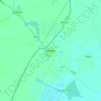
Name: Dholera topographic map, elevation, terrain.
Location: Dholera, Dholera Taluka, Ahmedabad, Gujarat, 382455, India (22.20959 72.15599 22.28959 72.23599)
Average elevation: 8 m
Minimum elevation: 5 m
Maximum elevation: 12 m
Thank you for supporting this site ❤️
Make a donation
Make a donation
Other topographic maps
Click on a map to view its topography, its elevation and its terrain.