
Thank you for supporting this site ❤️
Make a donation
Make a donation
Barringer topographic map
Click on the map to display elevation.
Thank you for supporting this site ❤️
Make a donation
Make a donation
About this map
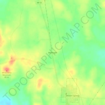
Name: Barringer topographic map, elevation, terrain.
Location: Barringer, Clark County, Arkansas, 71772, United States (33.82816 -93.15406 33.86816 -93.11406)
Average elevation: 75 m
Minimum elevation: 47 m
Maximum elevation: 105 m
Thank you for supporting this site ❤️
Make a donation
Make a donation
Other topographic maps
Click on a map to view its topography, its elevation and its terrain.