
Thank you for supporting this site ❤️
Make a donation
Make a donation
Rossaklettur topographic map
Click on the map to display elevation.
Thank you for supporting this site ❤️
Make a donation
Make a donation
About this map
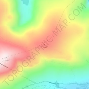
Name: Rossaklettur topographic map, elevation, terrain.
Location: Rossaklettur, Trongisvágur, Suðuroyar sýsla, 826, Færøerne (61.57575 -6.87306 61.57585 -6.87296)
Average elevation: 249 m
Minimum elevation: 11 m
Maximum elevation: 484 m
Thank you for supporting this site ❤️
Make a donation
Make a donation