
Thank you for supporting this site ❤️
Make a donation
Make a donation
Tindur topographic map
Click on the map to display elevation.
Thank you for supporting this site ❤️
Make a donation
Make a donation
About this map
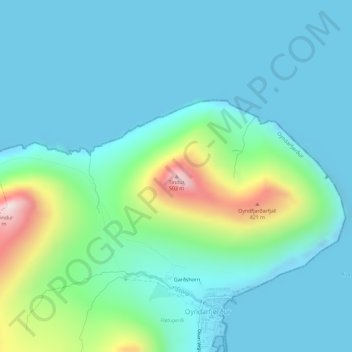
Name: Tindur topographic map, elevation, terrain.
Location: Tindur, Oyndarfjørður, Eysturoyar sýsla, 690, Færøerne (62.28718 -6.85923 62.28728 -6.85913)
Average elevation: 100 m
Minimum elevation: -12 m
Maximum elevation: 530 m
Thank you for supporting this site ❤️
Make a donation
Make a donation