
Tamarit topographic map
Interactive map
Click on the map to display elevation.
About this map
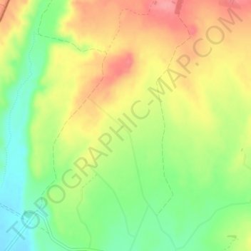
Name: Tamarit topographic map, elevation, terrain.
Location: Tamarit, Tauste, Cinco Villas, Zaragoza, Aragón, Spanje (41.95269 -1.36153 41.97269 -1.34153)
Average elevation: 297 m
Minimum elevation: 253 m
Maximum elevation: 340 m