
San Martín topographic map
Interactive map
Click on the map to display elevation.
About this map
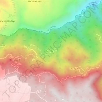
Name: San Martín topographic map, elevation, terrain.
Location: San Martín, Agua Blanca de Iturbide, Hidalgo, Mexico (20.37290 -98.37879 20.41290 -98.33879)
Average elevation: 1,795 m
Minimum elevation: 1,147 m
Maximum elevation: 2,280 m