
Scoggins Ridge topographic map
Interactive map
Click on the map to display elevation.
About this map
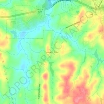
Name: Scoggins Ridge topographic map, elevation, terrain.
Location: Scoggins Ridge, Paulding County, Georgia, 30123, USA (33.87871 -84.89772 33.91871 -84.85772)
Average elevation: 297 m
Minimum elevation: 261 m
Maximum elevation: 344 m