
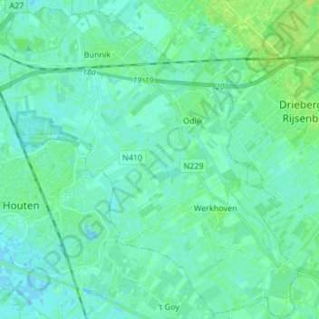
Bunnik topographic map
Interactive map
Click on the map to display elevation.
About this map
Name: Bunnik topographic map, elevation, terrain.
Location: Bunnik, Utrecht, Niederlande (51.99774 5.15303 52.08056 5.28015)
Average elevation: 3 m
Minimum elevation: -2 m
Maximum elevation: 9 m