
Colestin topographic map
Interactive map
Click on the map to display elevation.
About this map
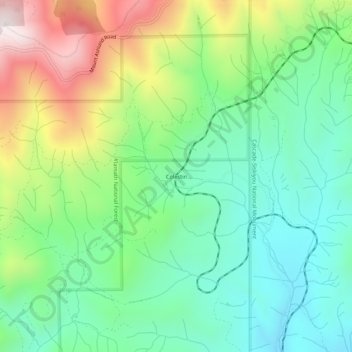
Name: Colestin topographic map, elevation, terrain.
Location: Colestin, Jackson County, Oregon, USA (42.03319 -122.67114 42.07319 -122.63114)
Average elevation: 1,230 m
Minimum elevation: 959 m
Maximum elevation: 1,765 m