
Thank you for supporting this site ❤️
Make a donation
Make a donation
Lac-Chicobi topographic map
Click on the map to display elevation.
Thank you for supporting this site ❤️
Make a donation
Make a donation
About this map
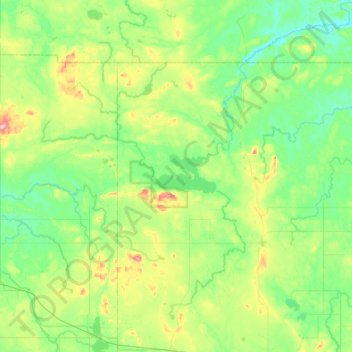
Name: Lac-Chicobi topographic map, elevation, terrain.
Location: Lac-Chicobi, Abitibi, Abitibi-Témiscamingue, Quebec, Canada (48.71957 -78.64379 49.00040 -77.98711)
Average elevation: 315 m
Minimum elevation: 271 m
Maximum elevation: 457 m
Thank you for supporting this site ❤️
Make a donation
Make a donation