
Bannholz topographic map
Interactive map
Click on the map to display elevation.
About this map
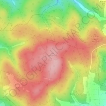
Name: Bannholz topographic map, elevation, terrain.
Location: Bannholz, Usingen, Hochtaunuskreis, Hessen, Deutschland (50.38948 8.51856 50.38958 8.51866)
Average elevation: 440 m
Minimum elevation: 348 m
Maximum elevation: 503 m