
Thank you for supporting this site ❤️
Make a donation
Make a donation
Kutu topographic map
Click on the map to display elevation.
Thank you for supporting this site ❤️
Make a donation
Make a donation
About this map
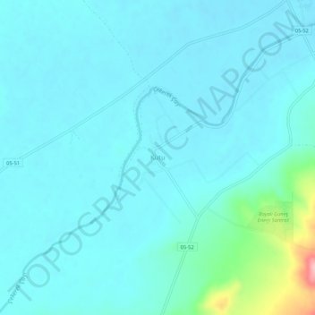
Name: Kutu topographic map, elevation, terrain.
Location: Kutu, Amasya, Région de la mer Noire, Turquie (40.50211 35.62182 40.54211 35.66182)
Average elevation: 439 m
Minimum elevation: 420 m
Maximum elevation: 570 m
Thank you for supporting this site ❤️
Make a donation
Make a donation