
Sződ topographic map
Interactive map
Click on the map to display elevation.
About this map
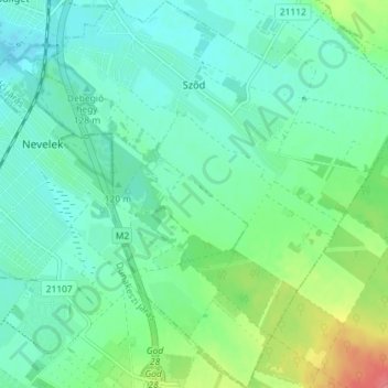
Name: Sződ topographic map, elevation, terrain.
Location: Sződ, Váci járás, Pest, Central Hungary, 2134, Hungary (47.68123 19.15412 47.72964 19.22068)
Average elevation: 122 m
Minimum elevation: 104 m
Maximum elevation: 176 m
Other topographic maps
Click on a map to view its topography, its elevation and its terrain.