
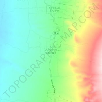
Quebracho Ladeado topographic map
Interactive map
Click on the map to display elevation.
About this map
Name: Quebracho Ladeado topographic map, elevation, terrain.
Average elevation: 841 m
Minimum elevation: 737 m
Maximum elevation: 1,031 m
Other topographic maps
Click on a map to view its topography, its elevation and its terrain.
La Paz
Argentina > Córdoba > Pedanía Talas
La Paz, Municipio de La Paz, Pedanía Talas, Departamento San Javier, Córdoba, X5870, Argentina
Average elevation: 756 m