
Thank you for supporting this site ❤️
Make a donation
Make a donation
Gfellen topographic map
Click on the map to display elevation.
Thank you for supporting this site ❤️
Make a donation
Make a donation
About this map
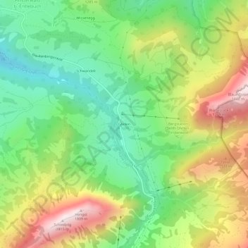
Name: Gfellen topographic map, elevation, terrain.
Location: Gfellen, Entlebuch, Lucerna, Suiza (46.93503 8.10816 46.97503 8.14816)
Average elevation: 1,237 m
Minimum elevation: 856 m
Maximum elevation: 1,801 m
Thank you for supporting this site ❤️
Make a donation
Make a donation