
Thank you for supporting this site ❤️
Make a donation
Make a donation
Coal Burner Spring topographic map
Click on the map to display elevation.
Thank you for supporting this site ❤️
Make a donation
Make a donation
About this map
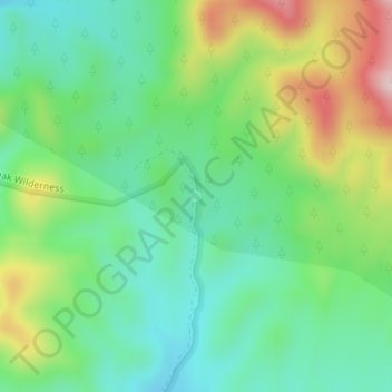
Name: Coal Burner Spring topographic map, elevation, terrain.
Location: Coal Burner Spring, Lincoln County, Nevada, United States (38.08256 -114.31565 38.08266 -114.31555)
Average elevation: 2,075 m
Minimum elevation: 1,966 m
Maximum elevation: 2,291 m
Thank you for supporting this site ❤️
Make a donation
Make a donation
Other topographic maps
Click on a map to view its topography, its elevation and its terrain.