
Thank you for supporting this site ❤️
Make a donation
Make a donation
English Channel topographic map
Click on the map to display elevation.
Thank you for supporting this site ❤️
Make a donation
Make a donation
About this map
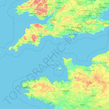
Name: English Channel topographic map, elevation, terrain.
Location: English Channel, Albert Mews, St Anne, Alderney, Guernsey (48.49109 -5.71646 51.16517 1.92832)
Average elevation: 55 m
Minimum elevation: -2 m
Maximum elevation: 815 m
Thank you for supporting this site ❤️
Make a donation
Make a donation