
Thank you for supporting this site ❤️
Make a donation
Make a donation
Pong Tamale topographic map
Click on the map to display elevation.
Thank you for supporting this site ❤️
Make a donation
Make a donation
About this map
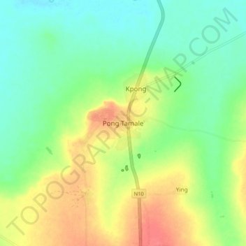
Name: Pong Tamale topographic map, elevation, terrain.
Location: Pong Tamale, Savelugu Municipal District, Northern Region, Ghana (9.65067 -0.87196 9.73067 -0.79196)
Average elevation: 127 m
Minimum elevation: 105 m
Maximum elevation: 160 m
Thank you for supporting this site ❤️
Make a donation
Make a donation