
Thank you for supporting this site ❤️
Make a donation
Make a donation
Cookson topographic map
Click on the map to display elevation.
Thank you for supporting this site ❤️
Make a donation
Make a donation
About this map
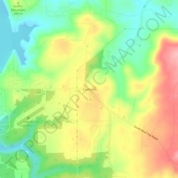
Name: Cookson topographic map, elevation, terrain.
Location: Cookson, Cherokee County, Oklahoma, 74427, United States (35.69093 -94.93995 35.73093 -94.89995)
Average elevation: 253 m
Minimum elevation: 192 m
Maximum elevation: 328 m
Thank you for supporting this site ❤️
Make a donation
Make a donation
Other topographic maps
Click on a map to view its topography, its elevation and its terrain.