
Thank you for supporting this site ❤️
Make a donation
Make a donation
Kingston topographic map
Click on the map to display elevation.
Thank you for supporting this site ❤️
Make a donation
Make a donation
About this map
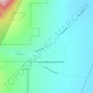
Name: Kingston topographic map, elevation, terrain.
Location: Kingston, Lander County, Nevada, United States (39.18597 -117.10926 39.22597 -117.06926)
Average elevation: 1,964 m
Minimum elevation: 1,784 m
Maximum elevation: 2,563 m
Thank you for supporting this site ❤️
Make a donation
Make a donation