
Thank you for supporting this site ❤️
Make a donation
Make a donation
Canaro topographic map
Click on the map to display elevation.
Thank you for supporting this site ❤️
Make a donation
Make a donation
About this map
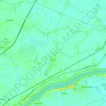
Name: Canaro topographic map, elevation, terrain.
Location: Canaro, Rovigo, Veneto, 45034, Italy (44.90696 11.63123 44.97457 11.74403)
Average elevation: 5 m
Minimum elevation: -1 m
Maximum elevation: 15 m
Thank you for supporting this site ❤️
Make a donation
Make a donation
Other topographic maps
Click on a map to view its topography, its elevation and its terrain.