
Thank you for supporting this site ❤️
Make a donation
Make a donation
Suring topographic map
Click on the map to display elevation.
Thank you for supporting this site ❤️
Make a donation
Make a donation
About this map
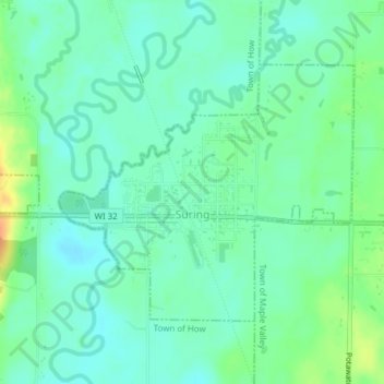
Name: Suring topographic map, elevation, terrain.
Location: Suring, Oconto County, Wisconsin, United States (44.99163 -88.39237 45.00971 -88.35596)
Average elevation: 248 m
Minimum elevation: 236 m
Maximum elevation: 273 m
Thank you for supporting this site ❤️
Make a donation
Make a donation
Other topographic maps
Click on a map to view its topography, its elevation and its terrain.