
Thank you for supporting this site ❤️
Make a donation
Make a donation
Rosenthal topographic map
Click on the map to display elevation.
Thank you for supporting this site ❤️
Make a donation
Make a donation
About this map
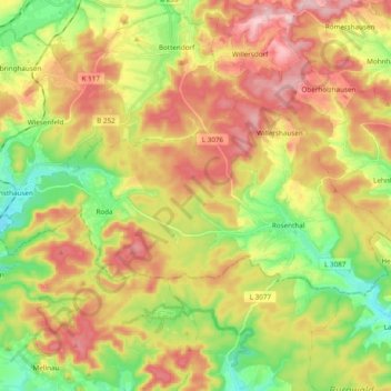
Name: Rosenthal topographic map, elevation, terrain.
Location: Rosenthal, Landkreis Waldeck-Frankenberg, Hesse, 35119, Germany (50.95203 8.72747 51.01362 8.91925)
Average elevation: 335 m
Minimum elevation: 235 m
Maximum elevation: 442 m
Thank you for supporting this site ❤️
Make a donation
Make a donation