
Aghinver topographic map
Interactive map
Click on the map to display elevation.
About this map
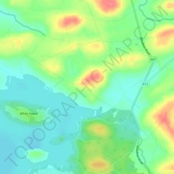
Name: Aghinver topographic map, elevation, terrain.
Average elevation: 62 m
Minimum elevation: 39 m
Maximum elevation: 102 m
Other topographic maps
Click on a map to view its topography, its elevation and its terrain.
Liscreevin
Royaume-Uni > Irlande du Nord > Lisnarrick
Liscreevin, Lisnarrick, County Fermanagh, Irlande du Nord, Royaume-Uni
Average elevation: 71 m
Buninubber
Royaume-Uni > Irlande du Nord > Lisnarrick
Buninubber, Lisnarrick, County Fermanagh, Irlande du Nord, Royaume-Uni
Average elevation: 57 m