
Lurin topographic map
Interactive map
Click on the map to display elevation.
About this map
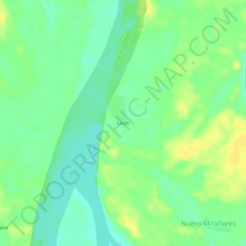
Name: Lurin topographic map, elevation, terrain.
Location: Lurin, Emilio San Martín, Requena, Loreto, Perú (-5.78590 -74.35041 -5.74590 -74.31041)
Average elevation: 107 m
Minimum elevation: 97 m
Maximum elevation: 118 m