
Thank you for supporting this site ❤️
Make a donation
Make a donation
Hasan Abad topographic map
Click on the map to display elevation.
Thank you for supporting this site ❤️
Make a donation
Make a donation
Hasan Abad
Golpayegan (Persian: گلپایگان)) is a city in the Central District of Golpayegan County, Isfahan province, Iran, serving as capital of both the county and the district. The city is 186 kilometres (116 mi) northwest of Isfahan and 102 kilometres (63 mi) southeast of Arak, at an altitude of 1,830 m. Its temperature fluctuates between +37 and -10 °C. Its average annual rainfall is 300 mm.
Thank you for supporting this site ❤️
Make a donation
Make a donation
About this map
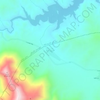
Name: Hasan Abad topographic map, elevation, terrain.
Average elevation: 2,138 m
Minimum elevation: 1,980 m
Maximum elevation: 2,726 m
Thank you for supporting this site ❤️
Make a donation
Make a donation