
Elrod topographic map
Interactive map
Click on the map to display elevation.
About this map
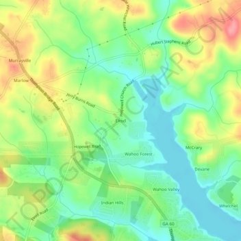
Name: Elrod topographic map, elevation, terrain.
Location: Elrod, Hall County, Géorgie, États-Unis d'Amérique (34.38871 -83.90546 34.42871 -83.86546)
Average elevation: 360 m
Minimum elevation: 322 m
Maximum elevation: 417 m