
Thank you for supporting this site ❤️
Make a donation
Make a donation
High Island topographic map
Click on the map to display elevation.
Thank you for supporting this site ❤️
Make a donation
Make a donation
About this map
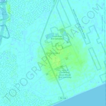
Name: High Island topographic map, elevation, terrain.
Location: High Island, Galveston County, Texas, 77623, USA (29.54695 -94.41353 29.58695 -94.37353)
Average elevation: 3 m
Minimum elevation: -1 m
Maximum elevation: 11 m
Thank you for supporting this site ❤️
Make a donation
Make a donation