
Narita topographic map
Interactive map
Click on the map to display elevation.
About this map
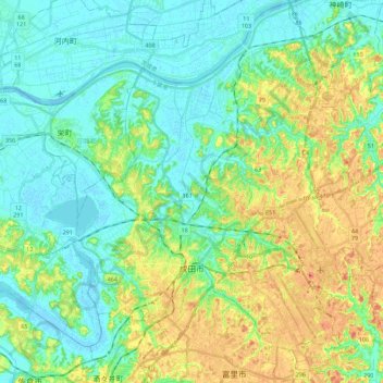
Name: Narita topographic map, elevation, terrain.
Location: Narita, Chiba Prefecture, Kanto, Japan (35.72327 140.24915 35.90237 140.47248)
Average elevation: 19 m
Minimum elevation: -2 m
Maximum elevation: 58 m