
Thank you for supporting this site ❤️
Make a donation
Make a donation
Krafla topographic map
Click on the map to display elevation.
Thank you for supporting this site ❤️
Make a donation
Make a donation
About this map
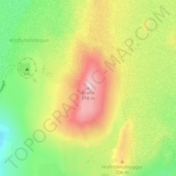
Name: Krafla topographic map, elevation, terrain.
Location: Krafla, Skútustaðahreppur, Northeastern Region, Iceland (65.71418 -16.73037 65.71428 -16.73027)
Average elevation: 622 m
Minimum elevation: 474 m
Maximum elevation: 804 m
Thank you for supporting this site ❤️
Make a donation
Make a donation
Other topographic maps
Click on a map to view its topography, its elevation and its terrain.