
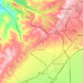
El Keurt ⵍⵇⴻⵔⵟ القرط topographic map
Interactive map
Click on the map to display elevation.
About this map
Name: El Keurt ⵍⵇⴻⵔⵟ القرط topographic map, elevation, terrain.
Location: El Keurt ⵍⵇⴻⵔⵟ القرط, Daïra Tizi, Muaskar, 29500, Argelia (35.35063 0.02036 35.42625 0.10829)
Average elevation: 554 m
Minimum elevation: 293 m
Maximum elevation: 734 m