
Lac Jaune topographic map
Interactive map
Click on the map to display elevation.
About this map
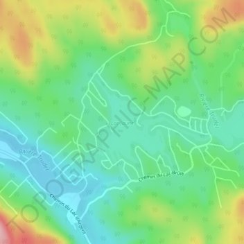
Name: Lac Jaune topographic map, elevation, terrain.
Location: Lac Jaune, Chertsey, Matawinie, Lanaudière, Québec, Canada (46.11232 -73.82233 46.12194 -73.80408)
Average elevation: 284 m
Minimum elevation: 228 m
Maximum elevation: 397 m
Other topographic maps
Click on a map to view its topography, its elevation and its terrain.