
Thank you for supporting this site ❤️
Make a donation
Make a donation
Veld topographic map
Click on the map to display elevation.
Thank you for supporting this site ❤️
Make a donation
Make a donation
About this map
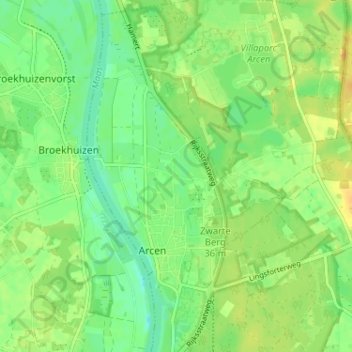
Name: Veld topographic map, elevation, terrain.
Location: Veld, Arcen, Venlo, Limburg, Nederland, 5944 EL, Nederland (51.46477 6.16279 51.50477 6.20279)
Average elevation: 20 m
Minimum elevation: 7 m
Maximum elevation: 33 m
Thank you for supporting this site ❤️
Make a donation
Make a donation