
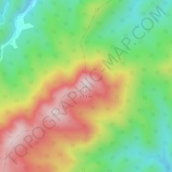
아구산 topographic map
Interactive map
Click on the map to display elevation.
About this map
Name: 아구산 topographic map, elevation, terrain.
Location: 아구산, 울진읍, 울진군, Gyeongsang du Nord, 36310, Corée du Sud (37.00085 129.29461 37.00095 129.29471)
Average elevation: 366 m
Minimum elevation: 161 m
Maximum elevation: 624 m