
Thank you for supporting this site ❤️
Make a donation
Make a donation
Ampas topographic map
Click on the map to display elevation.
Thank you for supporting this site ❤️
Make a donation
Make a donation
About this map
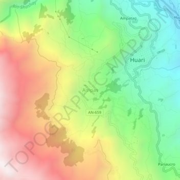
Name: Ampas topographic map, elevation, terrain.
Location: Ampas, Huari, Province of Huari, Ancash, Peru (-9.37518 -77.20290 -9.33518 -77.16290)
Average elevation: 3,479 m
Minimum elevation: 2,866 m
Maximum elevation: 4,234 m
Thank you for supporting this site ❤️
Make a donation
Make a donation