
Meerhout topographic map
Interactive map
Click on the map to display elevation.
About this map
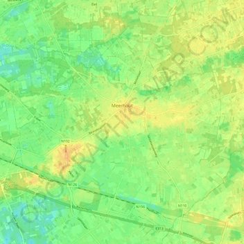
Name: Meerhout topographic map, elevation, terrain.
Location: Meerhout, Turnhout, Anvers, Flandre, 2450, Belgique (51.09373 5.01120 51.15956 5.13022)
Average elevation: 23 m
Minimum elevation: 9 m
Maximum elevation: 35 m
Other topographic maps
Click on a map to view its topography, its elevation and its terrain.