
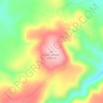
Las Carpas topographic map
Interactive map
Click on the map to display elevation.
About this map
Name: Las Carpas topographic map, elevation, terrain.
Location: Las Carpas, Madera, Chihuahua, México (29.95475 -108.28955 29.95485 -108.28945)
Average elevation: 2,306 m
Minimum elevation: 2,195 m
Maximum elevation: 2,420 m