
Rhede (Ems) topographic map
Interactive map
Click on the map to display elevation.
About this map
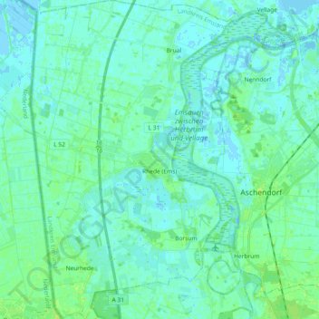
Name: Rhede (Ems) topographic map, elevation, terrain.
Average elevation: 3 m
Minimum elevation: -4 m
Maximum elevation: 10 m
Other topographic maps
Click on a map to view its topography, its elevation and its terrain.
Spelle
Allemagne > Basse-Saxe > Pays de l'Ems (arrondissement)
Spelle, Samtgemeinde Spelle, Pays de l'Ems (arrondissement), Basse-Saxe, 48480, Allemagne
Average elevation: 36 m