
Hraunfossar topographic map
Interactive map
Click on the map to display elevation.
About this map
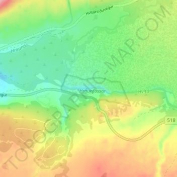
Name: Hraunfossar topographic map, elevation, terrain.
Location: Hraunfossar, Borgarbyggð, Western Region, Iceland (64.70251 -20.98065 64.70261 -20.98055)
Average elevation: 109 m
Minimum elevation: 58 m
Maximum elevation: 179 m